
You Can Now Command A Satellite To Snap Pictures Of Earth To Your Liking
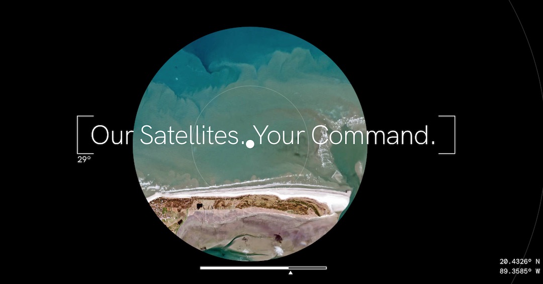
Pictures of Earth seem to have a profound and lasting impact on viewers, presenting a look into just how spectacular and significant the world is. If you find yourself moved by such images, you might have also wondered what capturing something as monumental as them is like.
With SkyFi’s ‘Earth Observatory’ app, users can now browse a collection of detailed satellite and aerial pictures of our planet—and then ask a satellite to snap a shot of a certain location on Earth. Your request will be sent up to SkyFi’s satellites, which will then take the photo.
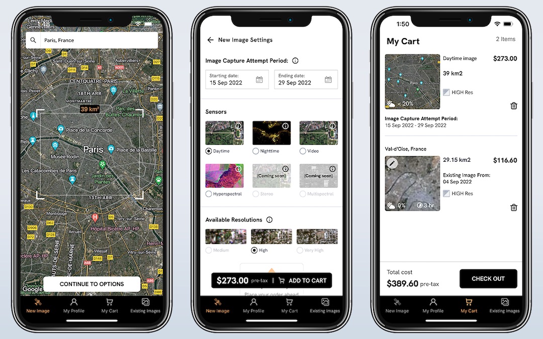
In terms of the size of the files you’ll receive, SkyFi states that an existing photograph with an almost two-square-mile radius will be about five megabytes. However, a requested shot at high resolution with an 8.8-square-mile radius can come up to 50 megabytes.
Over the next few months, the services could even expand to include radar, nighttime, and hyperspectral sensors, along with other tools to help people analyze object detection.

According to PetaPixel, the organization was founded and operated by explorers, scientists, engineers, and analysts who wanted to put the power to study Earth into the hands of the people after realizing how hard it was to access satellite data. As the company puts it, it’s democratizing space to make it accessible to everyone.
Well, for a cost, that is. Access to photographs in the library is priced at US$20 and if you want a customized image, it will set you back US$175.
Ready to take your very own picture of Earth from up in space? Explore the app or desktop version for yourself here.
[via DIY Photography and PetaPixel, images via SkyFi]


