
Walk Through War-Torn Ukraine In First Interactive Street View Of Wreckage

To keep the Russian invasion of Ukraine in the headlines even as the war’s first anniversary passes, creative agency And Us has come up with the world’s first interactive street map of a war zone to showcase the full extent of the devastation.
According to the International Rescue Committee, ever since the war broke out on February 24, 2022, over five million citizens have been displaced, with Ukrainian cities turned to rubble as civilian infrastructure, including hospitals and schools, are destroyed.
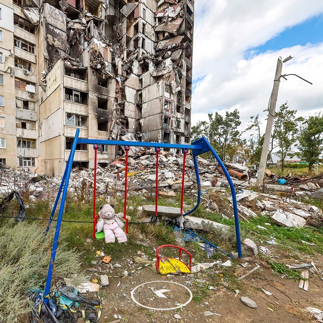
Jamie Kennaway, Executive Creative Director at And Us, told The Drum the firm wanted to bring the catastrophic damage to life in a way that would allow others across the globe to explore and grasp its effects in a “visceral way.”
The Undeniable Street View depicts a live war zone comprising over 100 kilometers (62.1 miles) of Street View footage shot by photographers on the ground in Ukraine. The map toggles between before and after images to accurately portray how the nation has changed.
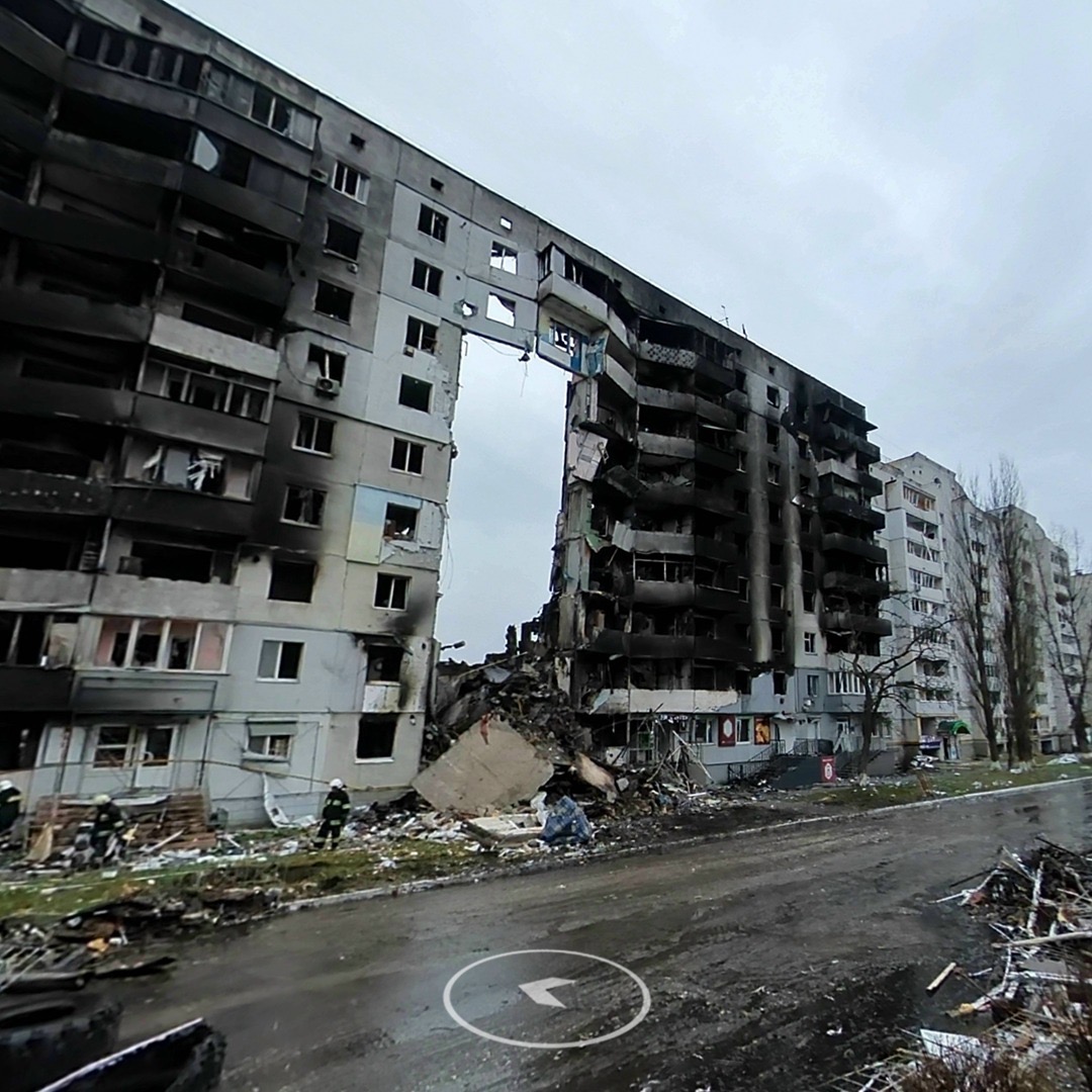
Through the interactive map, users can “walk” through the six cities of Kyiv, Irpin, Kharkiv, Izyum and Cherigiv, and Sumy, and witness the destruction up close, seeing for themselves the reality that millions of Ukrainians have been facing on a daily basis.
While other wars have been fought in the past, this is the first time an accurate representation of a war-torn nation has been turned into a street view. The agency worked with an executive at Google Street View who was able to get images from Ukraine to begin the project.
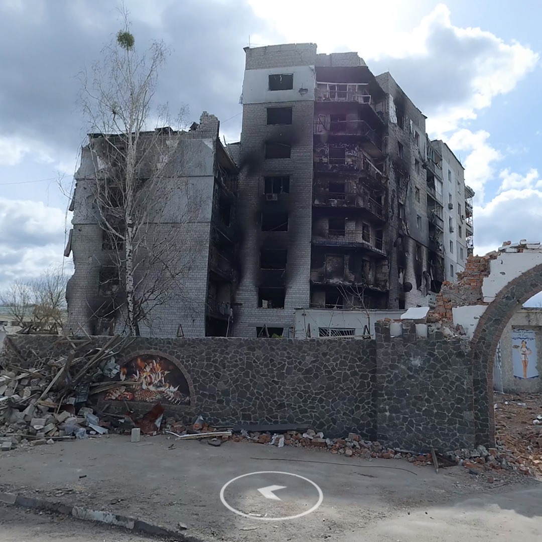
Additional footage by the team behind The Undeniable Street View can be viewed here. Photojournalists used drones, street photography, and panorama to record the situation on the ground, creating an archive to document the full extent of Russian damage.
[via The Drum and LBB Online, images via And Us]


