
Odd Circular Dunes Have Been Spotted On Mars In New NASA Images
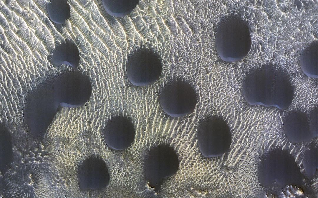
On the dusky sands of Mars, a reconnaissance spacecraft has spotted what looks like near-perfect circular dunes dotting its landscape.
The High Resolution Imaging Experiment (HiRise) operated by the University of Arizona noted that the slight slant of the dunes indicates that the sands are being blown southwards. Still, shapes like these are pretty rare for the planet.
The images were captured as part of a program studying how frost is formed over the land during late winter. The renders in question, however, don’t show any ice.
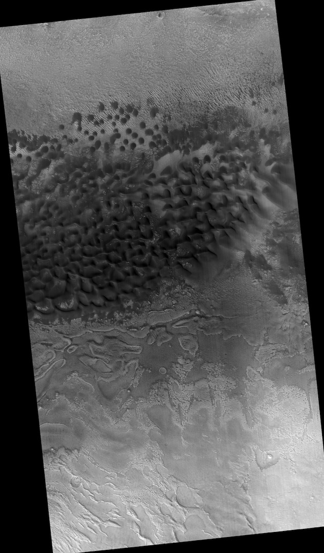
HiRise was launched with the Mars Reconnaissance Orbiter (MRO). It began surveying the planet in 2006 and now occupies 60 locations where it monitors sand movement on Mars’ dune scapes, climate, signs of water, and geology.
Over the last year of collated data, scientists determined that the dunes are moving up the equator to the poles at a rate of 3.3 feet per Martian year (687 days in a year, to be exact).
Images taken by the cameras have presented researchers with various shapes and sizes, revealing much about the Red Planet’s weather conditions. And with its current mission to study glaciers, photos such as these help scientists determine how ice forms at the base of these dunes. Though this picture doesn’t have any ice, deposits in these areas were thought to once be rich in ice. However, how it got there in the first place remains a mystery.
[via Space.com and SciTechDaily, image via NASA/JPL-Caltech/University of Arizona]


