
UAE Delivers A Detailed Look At Mars’ Mysterious Terrain With A New Map
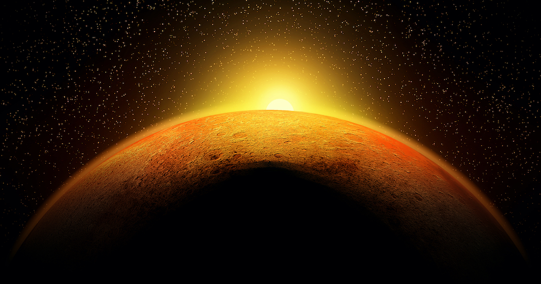
Exciting news from the United Arab Emirates—a spectacular and intricate map of Mars has been released, providing a rare and detailed view of the Red Planet’s mysterious terrain.
This remarkable feat was accomplished by research scientist Dimitra Atri and his team at NYU Abu Dhabi, who worked tirelessly to compile 3,000 exclusive images taken by the Emirates Exploration Imager (EXI)—a cutting-edge device aboard the Emirates Mars Mission (EMM), affectionately known as Hope or Al-Amal.
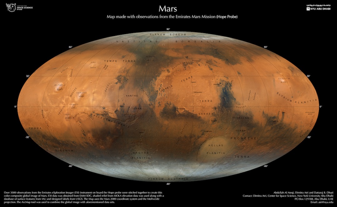
The Hope mission, a pioneering interplanetary endeavor that began in 2014, marked the first-ever space exploration initiative for the Arab world. After a long wait, Japan finally launched the mission on July 20, 2020, and successfully entered Mars’ orbit on February 9, 2021.
Through a two-year process, Atri and his team utilized Hope’s strategic positioning to stitch together a breathtaking collage of mountains, volcanoes, ancient rivers, and polar caps. Also visible are valleys and lake remnants that have since dried up and pose as potential sources of microbial life.
Another interesting geological feature is the asteroid impact sites. These could give scientists a look into the planet’s history and how these crashes shaped the Mars we know today.
With this map, the team hopes to provide scientists with a better understanding of the planet’s climate and weather systems to aid them in future missions.
“We plan to make our groundbreaking map available to people around the world as part of the new, advanced Atlas of Mars. It will be published in both English and Arabic, allowing for broader access to this incredible and important information,” stated Atri.
Explore more of the map here.
[via Tech Times and NYU Abu Dhabi, images via various sources]


