
Google Earth Gets Time-Boosted With 2 More Years Of Data To Watch World Evolve
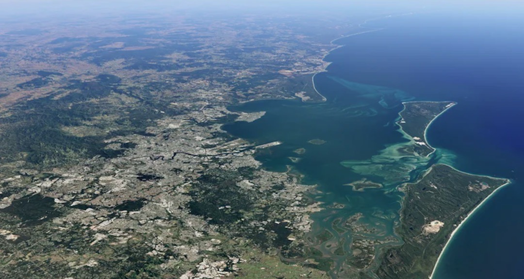
Image via Google
The world is constantly changing and developing before our very eyes. From bustling cities that grow more crowded daily to remote regions where nature still reigns supreme, it’s impossible to keep up with everything happening. But what if you could watch it all unfold in a single time-lapse that captured the growth of humanity?
Thanks to Google Earth’s Timelapse feature, you can do just that. Timelapse is a 4D map that tracks topographical changes and the spread of civilization, showing how much a specific area has grown via data collected from 1984 onwards. It’s a stunning look at how our planet has progressed over time, from the growth of urban areas to the retreat of glaciers and ice shelves.
Timelapse has only shown the world’s progression until 2020. However, now, with two additional years of data, you can see how your hometown has changed and how the world has transformed until 2022. It’s a fascinating glimpse into our planet’s past, present, and future and a reminder of the incredible rate at which we are growing.
A blog post from Google points out a few noteworthy locales that have shown a remarkable shift in the last few years. These include irrigation systems springing up in the deserts of Egypt, the long and winding rivers of the Amazon snaking through Peru, and how the devastating wildfires that have gripped California’s Lassen National Forest have now forever altered its landscape.
Data for Timelapse is mainly collated from NASA, the US Geological Survey's Landsat program, and the European Space Agency’s Sentinel satellites.
All 800 Timelapse videos from over 300 locations are now available here.
[via Android Police and PC Mag, images via Google]


