
The Secret To New AI-Powered Flood System? Crowdsourced Images Of Stop Signs
Among all the natural disasters that could befall the United States, flooding is undoubtedly the most common. From 2011 to 2021, deaths from rising waters averaged 114 people annually, though the number spiked by 146% from 2020 to 2021.
To address this growing concern, Amir Behzadan, Professor of Construction Science at Texas A&M University, decided to leverage the power of artificial intelligence to collect, curate, and communicate real-time flooding data across the country.
Interestingly, despite floods not being a rarity, there appears to be a lack of readily available data and analysis that the public and first-responders can refer to—known as a “data desert”—leaving communities with very little information about the likelihood or extent of the damage.
At the moment, the only data-gathering measures for floods come in the form of gauges installed by local officials or the US Geological Survey, though this provides only limited coverage and doesn’t track how floodwaters move through and the damage caused to residential areas.
As Behzadan pointed out, should this information be out in the open, more people will be able to make informed decisions about what to do in the event of a flood, such as where to begin search and rescue operations, debris cleanup, or even how to structure economic recovery efforts.
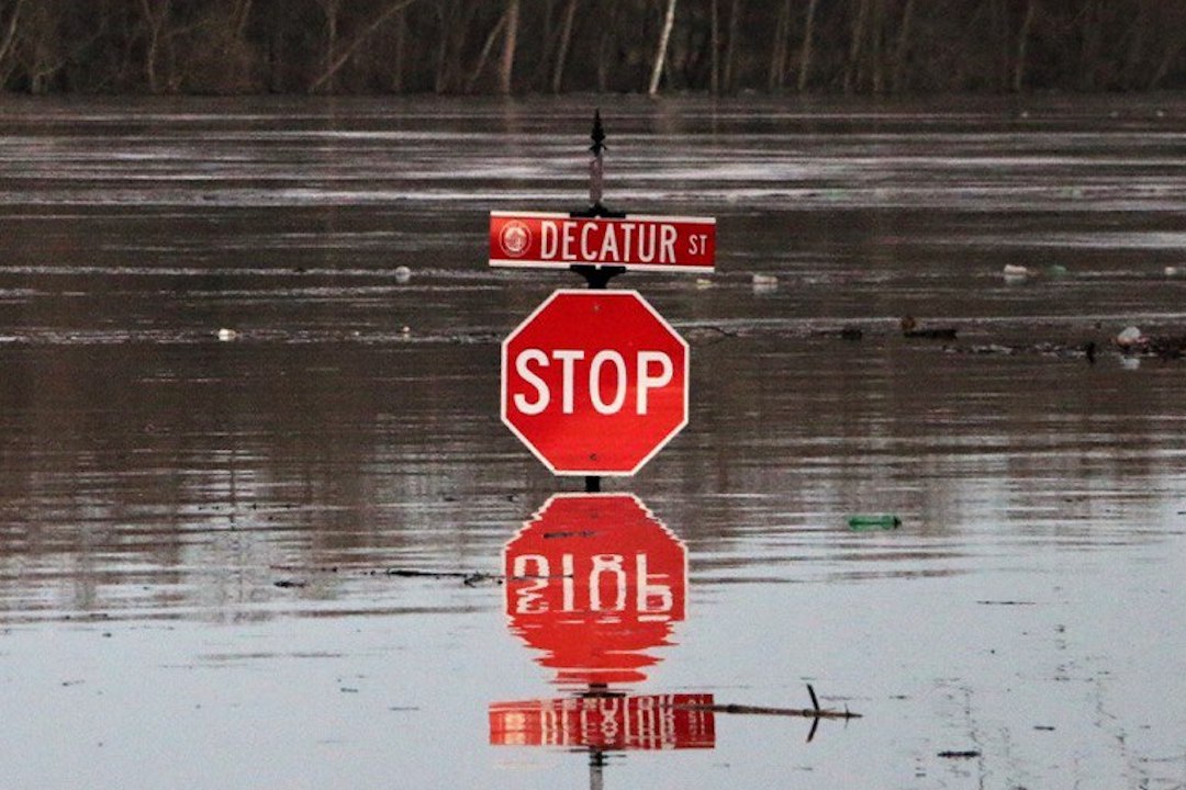
The key to the simple system the professor developed? Crowdsourced pictures of stop signs. For the solution to work, residents would simply need to snap an image of the floodwaters at a stop sign and upload it onto the BluePix platform.
From there, the AI model created by Behzadan and his team will compare the photograph with an existing Google Street View image of the exact spot—minus the floodwaters—as a benchmark to estimate the current depth of the waters.
Impressively, as all stop signs feature the same 30-inch diameter, pictures need not be taken in the exact same angle or at the same time of day, as the algorithm will be able to read and recognize the differences while calculating the depth of the waters.
Even better, the system feeds the information into a map so that the public, first responders, and local authorities can access the information and plan rescue routes in real time. Perhaps in the future, pictures posted on social media could be included to aid the flood data gathering cause.
[via Archinect and Architect Magazine, cover image via Lwooderson | Dreamstime.com]


