
AI Tool Brings Extinct Neighborhoods Back To Life Via 3D Maps You Can Explore
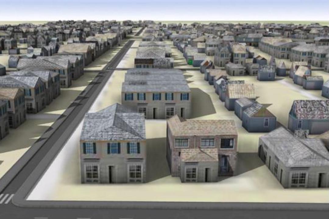
What happens when neighborhoods are vacated, leveled, and taken over to make space for highways? Oftentimes, they disappear from memory apart from in the form of maps. Now, researchers have created an artificial intelligence tool that can “resurrect” these places in the form of 3D digital models.
The idea was sparked when the researchers delved into the Sanborn Fire Insurance maps, which were created for insurance companies to assess liabilities in 12,000 cities across the United States from way back in the 19th and 20th centuries.
Thankfully, it’s no longer necessary to sift through pages and pages of old, dusty maps to collect data manually, as these maps have been digitized and made available in the Library of Congress. The AI then extracts details on buildings’ locations, footprints, number of stories, construction materials, primary use, and more.
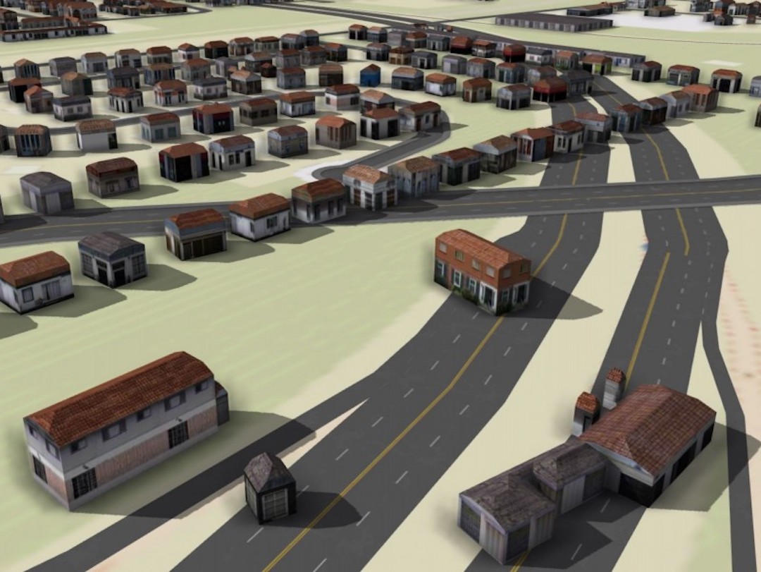
Using the data gathered, the scientists were then able to recreate two adjacent neighborhoods on the near east side of Columbus, Ohio, that were destroyed in the 1960s in order to make way for the construction of the I-70 highway.
Intriguingly, one of the neighborhoods featured—Hanford Village—was built in 1946 as residences for returning Black veterans from World War II. The other, Driving Park, housed a bustling Black community until it was divided into two for the I-70.
“The story here is we now have the ability to unlock the wealth of data that is embedded in these Sanborn fire atlases,” explained Harvey Miller, a geography professor at The Ohio State University and a co-author of the study.
“It enables a whole new approach to urban historical research that we could never have imagined before machine learning. It is a game changer,” he added.
In total, an estimated 380 buildings were demolished in the two neighborhoods, including 286 homes, 86 garages, five apartments, and three storefronts. Incredibly, the results showed that the AI model was accurate in recreating the maps—boasting a 90% accuracy in terms of building footprints and construction materials.
“We want to get to the point in this project where we can give people virtual reality headsets and let them walk down the street as it was in 1960 or 1940 or perhaps even 1881,” said Miller.
“Making these 3D digital models and being able to reconstruct buildings adds so much more than what you could show in a chart, graph, table, or traditional map. There’s just incredible potential here.”
[via Interesting Engineering and The Ohio State University / EurekAlert, images via various sources]


