
Apple Reveals How People Are Moving Around After Social Distancing Measures
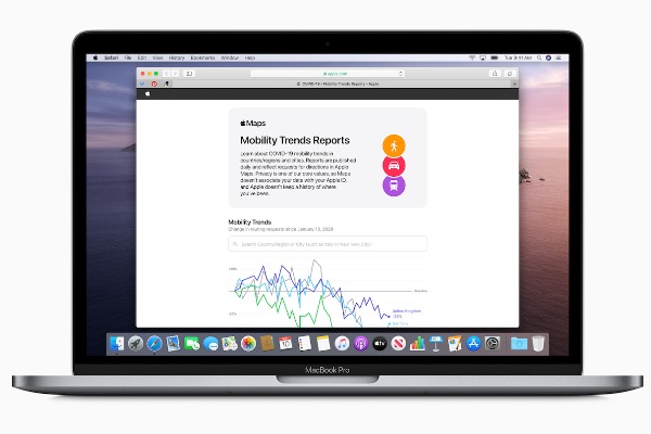
Image via Apple
Apple recently released a tool offering Mobility Trends reports that show changes in people’s commuting movements following social distancing guidelines.
Apple generates the results in graphs using data from the Apple Maps app. The daily reports reveal the travel data of people driving, walking, and utilizing public transport since 13 January 2020, prior to the coronavirus lockdown. The data covers various cities and shows national statistics from 63 countries.
Apple also allows users to export the results in a spreadsheet, which will provide useful information on travel behavior amid the COVID-19 outbreak to researchers, the media, and the general public.
The iPhone maker promises that the Maps app will not be linked to the user’s Apple ID nor store their travel history.
Google has also come up with similar but more detailed COVID-19 Community Mobility reports, breaking down information covering over 130 countries more extensively. The tool narrows down how busy these areas are by the number of visits to common locations such as grocery stores, parks, and offices.
Mobility movement research tool from Apple is fascinating. Check out the differences between New York, Los Angeles, and Atlanta.https://t.co/ugZunjmhGm pic.twitter.com/YdHdCOe2J2
— Kristoffer Nelson (@toffernelson) April 15, 2020
Mobility trend reports were released by #Apple for cities and countries around the world since #Covid_19 outbreak.
— Worldometer (@WorldOMeter) April 15, 2020
Reports for the 3 most impacted regions below.
🇺🇸 New York
🇮🇹 Lombardy
🇪🇸 Madrid pic.twitter.com/9BFXemjHqM
[via BBC, cover image via Apple]
Also check out these recent news


